 Santorini Island Guide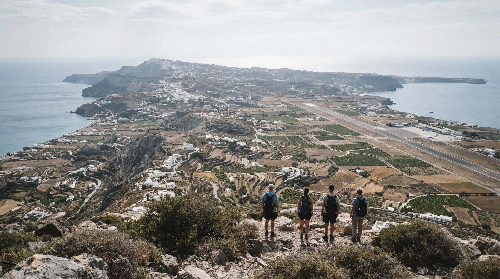
This Santorini map puts all thirty pins in one place, numbered, colour coded and priced, so you can see at a glance what sits on the caldera rim and what sits on the flat east coast. The map of Santorini most people need is simple: everything famous runs along the western cliff from Oia down to Akrotiri. Start with the shortlist below, then plan the rest with our things to do hub. It is part of our Santorini, Greece travel guide.
Quick answer The island at a glance
Santorini is a crescent in the Cyclades, Greece. The caldera rim villages of Oia, Imerovigli, Firostefani and Fira line the west cliff, the airport and black beaches sit on the flat east coast, and the volcano and hot springs are islets reached only by boat. A Santorini map Oia Fira reading takes ten minutes and saves you a day of backtracking.
Key takeaways
- Everything on the west rim links by the caldera path, about 10 km, our estimate, or a $2.46 (€2.20) KTEL bus.
- Boats only reach the volcano and hot springs, so pick a Santorini boat tour for that half of the map.
- One van covers the whole island in a day: this top sights day trip with wine and the Oia sunset runs nine hours.
- Entry fees run from free viewpoints to $22.40 (€20) at Akrotiri. Details in our tickets guide.
The Santorini Map, Numbered
Every village, ticketed site, beach, boat harbour and transit point in this guide, numbered north to south and grouped into four colours. Coordinates come from OpenStreetMap, checked one by one.
Entry or park fee 5 pins
- Museum of Prehistoric Thera$11.19 (€10)The Akrotiri wall paintings and finds. Closed Tuesday.
- Archaeological Museum of Thera$11.19 (€10)Finds from Ancient Thera. Late opening on Saturday.
- Nea Kameni volcano$5.59 (€5)The crater walk in the middle of the bay, by boat only. Park fee paid on the island.
- Ancient Thera$11.19 (€10)Dorian city on Mesa Vouno above Kamari. Closed Wednesday in summer.
- Akrotiri$22.40 (€20)The Bronze Age town under a protective roof. Short hours on Monday and Thursday.
Beaches, boats & viewpoints 10 pins
- Oia castlefreeThe ruined castle walls, the classic free sunset viewpoint, full an hour before sunset.
- Ammoudi BayOia's small harbour below the red cliff, reached by steps or road. Boats to Thirassia.
- ThirassiaThe inhabited island on the far rim of the caldera, reached only by boat.
- Skaros RockfreeThe rock below Imerovigli with the ruins of the medieval castle-town. No ticket.
- Three Bells of FirafreeThe blue-domed Catholic church on the slope at Firostefani, a photo stop with no ticket.
- Hot springs, Palea KameniA warm, iron-rich bay. Boats anchor off and you swim in.
- Santo WinesWinery of the island cooperatives, a caldera terrace, open all year.
- Red BeachLand path closed by the municipality for rockfall. View it from above or from a boat.
- Akrotiri lighthousefreeThe south-west cape, a sunset spot without the Oia crowd.
- VlychadaMarina and wind-cut pumice cliffs. Most catamarans leave from here. Bus from Fira $3.13 (€2.80).
Villages to base in 10 pins
- OiaThe village at the northern tip, cave houses and the sunset rail. Bus from Fira $2.46 (€2.20).
- ImerovigliThe highest village on the rim, quiet rooms on the Fira-Oia path.
- FirostefaniThe rim village a short walk north of Fira, quieter than both neighbours.
- FiraThe capital and the KTEL bus hub at about 220 m on the rim.
- KarteradosVillage below Fira, home of the island hospital with a 24-hour emergency department.
- KamariLong dark-sand beach on the east coast. Bus from Fira $2.46 (€2.20).
- PerissaThe black beach on the far side of Mesa Vouno, running into Perivolos. Bus $3.02 (€2.70).
- PyrgosHilltop village with the old castle at the top and the island below it.
- MegalochoriWine-country village between Fira and Akrotiri.
- EmporioThe largest inland village, with a fortified old core of narrow lanes.
Airport, ports & cable car 3 pins
- Old Port and cable car$11.19 (€10)Cruise tenders and volcano boats land here. Cable car up to Fira every 20 minutes.
- Santorini airport (JTR)About 6 km southeast of Fira. Bus to Fira $2.46 (€2.20).
- Athinios ferry portWhere the ferries from Piraeus and the islands dock. Bus from Fira $3.02 (€2.70).
Pins dated with the rest of the page. Prices are the official adult fares. Walking and driving times are our estimates.
The Shortlist: Five Pins Worth A First Visit
Five pins answer the question first-time visitors ask most: what do I actually see. Each one earns its place for a different reason, and the table says what it costs and when it works best.
| Pin | Why go | Cost | When |
|---|---|---|---|
| Akrotiri | A Bronze Age town buried by the eruption around 1600 BC, roofed so you walk it in any weather | $22.40 (€20) | Morning, before the coaches, closed Tuesday in winter |
| Oia | The northern tip, the blue domes, the castle and the sunset crowds | Free | Sunset if you accept the crush, morning if you do not |
| Fira to Oia rim path | The whole caldera in one walk through Firostefani and Imerovigli | Free | Morning start, 3-5 hours, our estimate |
| Nea Kameni volcano | Walk a live crater two millennia of eruptions built, mid-caldera | $5.59 (€5) park fee on top of the boat | Boats leave Fira Old Port from late morning through summer |
| Perissa or Kamari | Black sand on the east coast, swimming without the cliff climb | Free | Afternoon, when the rim is hottest |
| Museum of Prehistoric Thera | The frescoes and finds that left Akrotiri, in Fira | $11.19 (€10) | Midday or a Tuesday-free slot, closed Tuesday |
| Pyrgos | The hilltop village with the island view, away from the rim | Free | Late afternoon light |
| Vlychada | Moon-carved cliffs and a marina at the island's south end | Free | Morning, before the wind fills in |
| Skaros Rock | The medieval castle rock jutting off the Imerovigli rim | Free | Early morning or golden hour |
| Ammoudi Bay | Oia's small red-cliff harbour, thirty minutes of swimming and tavernas | Free | Late afternoon before dinner |
| Thirassia | The inhabited far rim, quiet even in August | Free, boat fare not stated | A half day, on a caldera cruise stop |
| Akrotiri Lighthouse | The southwest corner, one of the island's quietest sunset spots | Free | Sunset, by car or ATV |
| Ancient Thera | A Dorian city from the 9th century BC on Mesa Vouno above Kamari | $11.19 (€10) | Morning, summer only in practice, closed Wednesday |
| Red Beach | The red volcanic cliff and dark shore at Akrotiri | Free, viewpoint only | From above or by boat, the land path is closed |
| Megalochori | A wine village of bell arches and vineyards off the tourist spine | Free | With a winery stop nearby |
| Firostefani | The three bells church and the calm stretch of rim between Fira and Imerovigli | Free | Sunset, minus most of the Fira crowds |
| Imerovigli | The highest rim village, the balcony over the caldera | Free | Sunset from a bench, not a restaurant |
| Santo Wines | The cooperative winery above Athinios, caldera-facing terraces | Tasting prices listed on the winery's booking page | Late afternoon |
| Emporio | The largest traditional village, a Kasteli and narrow lanes in the south | Free | Morning or evening, it holds heat all day |
| Athinios Port | The ferry port folded into the caldera cliff below Fira | Bus $3.02 (€2.70) | Arrival and departure days |
| Santorini Airport | The small terminal at Kamari, about 6 km southeast of Fira | Bus $2.46 (€2.20) | Any flight day |
| Fira Old Port | The foot of the cliff where cruise tenders and volcano boats leave | Cable car up $11.19 (€10) | Before the tenders land |
| Palea Kameni | The warm iron-rich springs bay, a swim stop off-shore | Boat fare plus nothing on shore | Midday on any caldera cruise |
| Three Bells of Fira | The blue-domed catholic church on the Firostefani rim, the classic postcard | Free | Early morning |
| Monolithos | The airport-side beach, shallow and quiet | Free | Any hour, it is never busy |
| Karterados | The inland village behind Fira, cave houses and the hospital | Free | Passing through by bus or car |
| Profitis Ilias | The island's high point monastery view, between Pyrgos and Kamari | Free | Clear days, the whole island below |
| Oia Castle | The sunset viewpoint at the tip of Oia | Free | One hour before sunset to claim a spot |
| Fira | The capital, the bus hub, the cable car and the cliff edge | Free | Any time, it is the crossroads |
| Archaeological Museum of Thera | Fira's second museum, sculpture and pottery from the ancient city | $11.19 (€10) | Midday, Saturday it stays open until 21:00 |
Costs are the official entry fees or free access as read from the operators' pages. Figures current in Q4 2026.
How To Read The Colours And The Numbers
Every pin on the map carries one of five colours and a number. The colour tells you what kind of place it is and whether money changes hands. The number matches the order the script lays out below the map.
The five colours
Red pins charge an entry fee or a park fee: Akrotiri, Ancient Thera, the two Fira museums and Nea Kameni with its €5 park fee. Blue pins are water and views: the beaches of the east and south coast, the caldera viewpoints, Ammoudi Bay and the boat stops at the volcano islets. Dark pins are the villages people base in, from Oia at the north tip down through Fira to Pyrgos, Megalochori, Emporio and the beach towns.
Grey pins are infrastructure: the airport at Kamari, Athinios ferry port, the Old Port and the Fira cable car.
- Red: pay at the door, prices from $5.59 (€5) to $22.40 (€20)
- Blue: free to reach, boats and swims cost what the operator lists
- Dark: villages, free to wander, this is where your bed is
- Grey: airport, ports and the cable car, transit only
What the numbers do
The numbering runs roughly north to south along the caldera rim first, then sweeps the flat east and south coast, then the islets in the caldera. If you are reading a Santorini map to plan a single day, follow the numbers for pin one to ten and you have covered the rim. Pins in the twenties are the ones you visit only with a car, an ATV or a tour van, which is why the guided options sell so well.
Our pick for a first visit without a rental: pins one to eight on foot and by KTEL bus, then one boat day for the caldera pins.
How The Island Is Shaped
Santorini is not one blob. It is a drowned volcanic crater, and once you see the shape on the map the whole island makes sense: the famous side is the cliff, everything else is the slope away from it.
The crescent and the rim
The caldera is a flooded collapse basin left by the Minoan eruption around 1600 BC, one of the largest volcanic events in human history. The island you stand on is the eastern rim of that basin, a crescent curving from Oia in the north to Akrotiri and the lighthouse in the southwest. Every village with the famous view sits on this cliff edge: Oia at 36.46 north, then Imerovigli, Firostefani and Fira, which is the capital and sits at about 220 metres above the Old Port.
The rim villages are where caldera-view rooms cost the most. Read the tradeoffs in where to stay in Santorini.
The flat side and the black beaches
Turn away from the caldera and the land slopes gently to the Aegean. The east and south coasts are flat, built up in a strip, and fronted with black volcanic sand: Kamari under Mesa Vouno, Perissa and Perivolos further south, Monolithos by the airport, Vlychada at the southern tip with its wind-carved cliffs. This is the swimming half of the map and the cheaper bed half.
The airport sits at Kamari, about 6 km from Fira, so transfers from the east coast are the shortest on the island. Compare the strips in our Santorini beaches guide.
What no road reaches
Three famous names appear on the water side of the map and no road touches them. Nea Kameni, the young volcanic islet about 2 km across in the middle of the caldera, and Palea Kameni with its warm springs are boats only, and the €5 park fee is paid on the island itself. Red Beach at Akrotiri lost its land path: the municipality closed it for rockfall danger, tightened after the February 2025 earthquake, so you see it from the viewpoint above or from a boat.
Thirassia, the inhabited fragment of the far rim, is also boat-only from the caldera. The volcano and hot springs cruise from Fira Old Port covers both islets in three hours.
- Nea Kameni and Palea Kameni: boats from Fira Old Port, Athinios, Oia and Vlychada
- Red Beach: viewpoint above, or from the water on a catamaran route
- Thirassia: day boats and a few caique stops, plan half a day
What Is Not On This Map And Why
A map of Santorini that names everything is a map nobody can use. These pin categories are deliberately left off, and here is what to use instead.
No hotels, no restaurants
Restaurants and hotels change hands too fast to pin responsibly, and the map would drown in markers. Fira, Oia, Imerovigli and the beach towns each have their own page where the names hold still. For rooms start with Santorini hotels and the cave-house option in Santorini villas.
For food, our Santorini restaurants page sorts by village. Accommodation also carries a per-night climate resilience fee from April to October, €2 to €15 depending on star rating and €8 for short-term rentals, which the property charges at check-in. That fee is a cost of any bed on the map, not a reason to pick one village over another.
No taxi ranks, no step counts, no trail lengths
Taxi ranks move and there is no official island tariff we could verify, so transit shows only the fixed things: the KTEL bus hub in Fira, the airport, Athinios and the cable car. Step counts are equally unofficial. The Old Port climb up to Fira is described as several hundred steps on the Karavolades path, and the Oia to Ammoudi stairs are not counted anywhere official, so we print no number.
The Fira to Oia caldera path has no published official length either. Guides, including ours, say about 10 km and 3-5 hours, and we label it our estimate. Treat any map that prints exact steps or trail metres as decoration.
Red Beach is marked, but only as a viewpoint
The pin sits where the cliff is, not where the sand was. The municipality prohibits access to the beach by land for rockfall danger, a restriction in force since 2013 and reinforced after a rockfall following the 4 February 2025 earthquake. No official reopening has been published.
If a map or a seller tells you otherwise, that is out of date. See our red beach Santorini page for the state of access, and plan to see it from above at Akrotiri or from a boat tour that passes the cliff.
What The Season Changes
The map stays the same all year. What moves is the timetable attached to it, and four of those movements catch visitors out every year.
Site hours stretch and shrink
Akrotiri runs long in summer, 08:00-20:00 on most days from April to August, then steps down through autumn in half-hour stages to winter 08:30-15:30, closed Tuesday from November to March. Ancient Thera closes Wednesdays in summer, drops to Fridays through Sundays in November and opens December to February by appointment only, so the Mesa Vouno pin effectively vanishes from a winter map. Both Fira museums hold 08:30-15:30 year round, the Prehistoric museum closed Tuesday and the Archaeological Museum open late on Saturdays until 21:00.
Free-admission days at Akrotiri include 6 March, 18 May and the last weekend of September. Full hours sit on our tickets page.
The cable car keeps the summer clock
The Fira cable car runs every 20 minutes in summer, from 07:00 to 23:00 in June to August, which is why late cruise tenders still make it up the cliff. In November and March it runs only two short windows a day, 07:30-10:30 and 14:30-18:00, and in December to February just 07:30-09:00 and 15:00-16:00. A winter map needs the bus times or your own legs instead.
One way is $11.19 (€10), children and luggage $5.59 (€5). Timetable details live on our cable car page.
The meltemi cancels boats
From July into August the meltemi wind blows hard across the Cyclades, and boat operators cancel or reroute caldera trips when it does. The operators list weather clauses in their terms for exactly this reason. If a boat day is the core of your plan, book early in your stay so a cancellation day leaves room to move.
The same wind is why the south coast beaches feel gritty by afternoon. Winter visitors should read our Santorini weather page before fixing any sea day, and our Santorini volcano page explains the crater you are sailing to.
What does not change
Bus fares do not move with the season, nor do museum prices. The KTEL fare from Fira to Oia stays $2.46 (€2.20) in August and February. What changes is frequency, and departure times are seasonal, so check the KTEL timetable PDF closer to travel.
Crowd levels are the other seasonal variable. May, early June and October hold the best ratio of open everything to empty paths, which is the core argument of our best time to visit Santorini page.
Getting Between The Pins
The island is 18 km at its longest bus run, which means every pin pair on the map is reachable within an hour. Three systems cover it: the public bus, the cable car and your own feet along the rim.
The KTEL bus web
Every route fans out from the Fira bus station, and prices are fixed and cheap. Fira to Oia is $2.46 (€2.20) for the 11.8 km run, the same fare to Imerovigli, Kamari, Pyrgos, Megalochori, Emporio, Akrotiri village and the airport line through Monolithos. The longer runs cost a little more: Fira to Perissa or Perivolos and Fira to Athinios port are $3.02 (€2.70), and Fira to Vlychada is $3.13 (€2.80).
Reduced fares run about half for large families and disability. Night departures between 00:30 and 05:00 cost a euro or so more. Departure times are seasonal and we do not print them, so check the KTEL PDF.
The full network is mapped in our getting around Santorini guide.
The cable car and the cliff foot
One pin pair has no bus: Fira down to the Old Port. Cruise tenders land at Gialos and volcano boats leave from there, so the cliff crossing matters. The cable car does it in about three minutes, every 20 minutes in season, at $11.19 (€10) one way.
On foot it is the Karavolades stairs, several hundred steps with no official count. Mules use the same route, and a share of every cable car ticket goes to the mule drivers. When tenders land at once the queue can stretch, which is why some excursions include a boat transfer around the cliff instead.
Our Santorini cable car page has the full seasonal timetable.
On foot along the rim
The caldera path from Fira to Oia is the walking spine of the map. It threads Firostefani and Imerovigli, passes below Skaros Rock and finishes at Oia's edge, about 10 km by our estimate and 3-5 hours at a photo pace. No official length is published, so plan on the generous side and carry water.
Walk it north to south in the afternoon light or south to north in the morning. If you would rather have a guide and a water stop handled, a guided four-hour caldera hike from Fira to Oia runs in small groups. Between Oia and Ammoudi the link is stairs, and between the rim and the east coast it is buses or a rental, which our car and ATV rental page covers with the licence caveats.
Tours That Cover The Map In One Go
If your Santorini map looks like too many pins and too few days, these options fold a day of it into one booking.
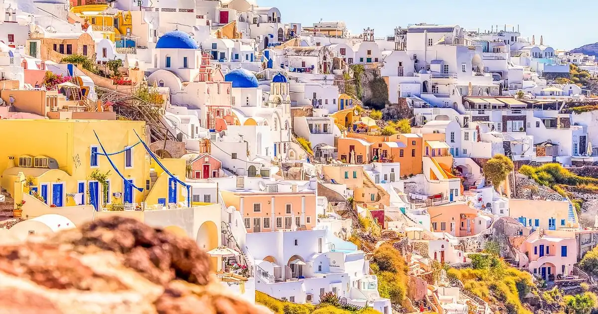 from $58.02
Top Sights Day Trip, Wine Tasting, & Oia Sunset
A nine-hour coach day: the top sights, a winery stop and the Oia sunset, with pick-up and a private option.
Check Availability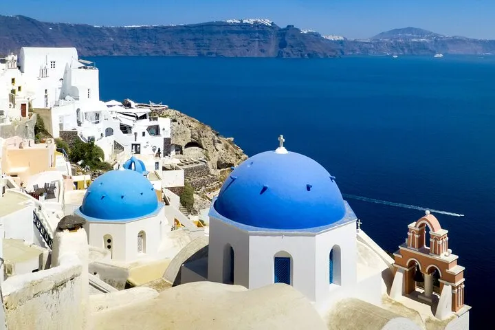 from $57.20
Private Santorini Tailor Made - Choice of the Guest!
A private car and driver-guide for the hours you choose, the route built around what you want to see; pick-up from hotel, port or airport.
Check Availability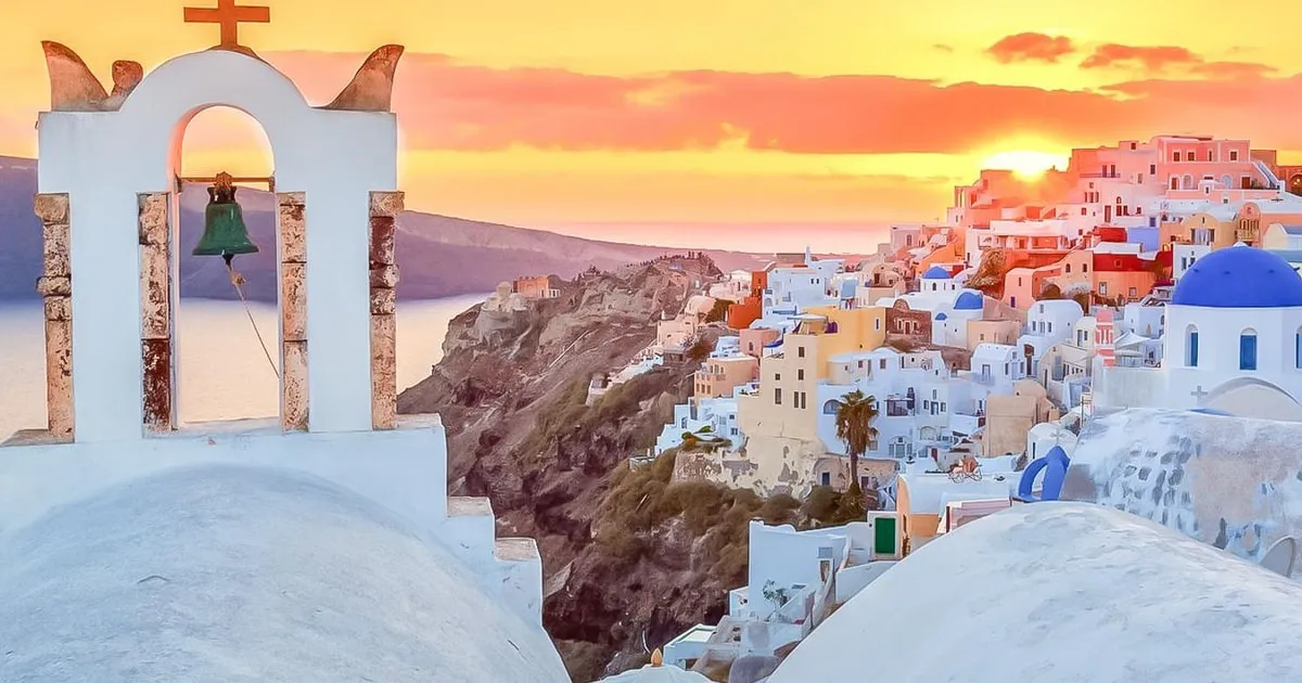 from $59.53
Traditional Sightseeing Bus Tour with Oia Sunset
The classic sightseeing bus day with the Oia sunset, ten hours with pick-up.
Check Availability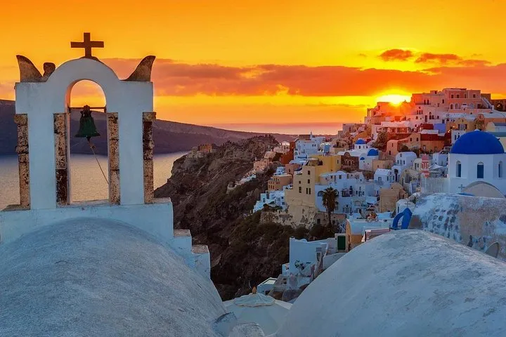 from $67.50
Santorini Day Tour: Akrotiri, Villages, Wine and Sunset in Oia
The full-day bus tour: Akrotiri with a licensed archaeologist, the black beach, Emporio, Pyrgos and the Oia sunset. The $22.57 added at checkout is the Akrotiri entrance fee (€20).
Check Availability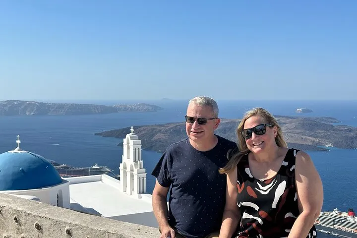 from $65.38
Santorini's Iconic Villages: Oia, Imerovigli & Firostefani
A three-hour minibus loop through Firostefani, Imerovigli and Oia with free time in Oia, built around cruise-ship hours. The €10 cable car is not included.
Check Availability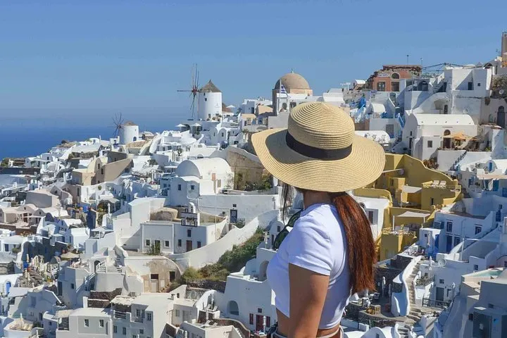 from $62.92
Santorini Highlights Small-Group Tour with Wine Tasting option
A highlights tour in a small group: Oia, the Profitis Ilias viewpoint and the villages. The listing adds $22.57 at checkout and excludes the €20 wine tasting and the Akrotiri entrance.
Check Availability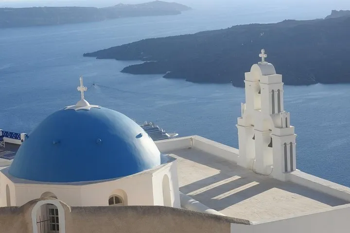 from $66.93
Santorini Half-Day Small Group Tour: Villages, Oia, Caldera Views
A half-day small group of up to 18: Profitis Ilias for the island view, Megalochori, the Firostefani blue dome and Imerovigli, with hotel pick-up.
Check Availability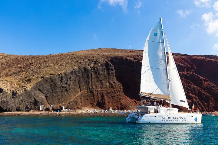 from $629.23
Santorini Private Catamaran Cruise with BBQ, Open Bar & Transfers
The whole catamaran for your party: the five-hour Vlychada route with BBQ, open bar and transfers. Priced per person, so check the minimum for your group.
Check Availability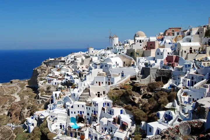 from $102.97
Santorini Full Day Tour: Fira, Oia Sunset & Beach (Small Group)
A full day in a minivan: Fira, the villages, a beach stop and the Oia sunset, for up to 18 guests with hotel pick-up. Food and drinks are on you.
Check Availability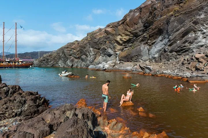 from $34.32
Santorini Volcano and Hot Springs Cruise Tour from Fira Old Port
The classic three-hour boat from Fira Old Port to Nea Kameni: 1.5 hours walking the crater trail, then a swim at the warm springs. The €5 volcano fee is paid on top.
Check Availability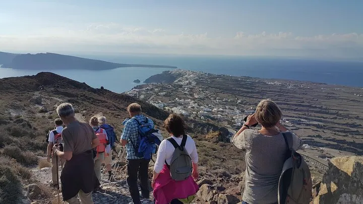 from $114.41
Santorini: 4hr Small Group Caldera Hike from Fira to Oia
The caldera path from Fira through Firostefani and Imerovigli to Oia with a guide, water and snacks, for groups of up to 12. No transfer back to Fira.
Check AvailabilityPrices, ratings and details are the platform's own. dollar figures are the listed prices — the platform bills in your account's currency.
Plan Pages That Pair With This Map
Four pages do the planning work this map sets up.
Santorini in 1 day
A pin-by-pin route through Fira, Oia and the cliff, timed around the buses. The best single-day pairing for this map if you have no car.
The rim and one museum in a single day Read the guideGetting around Santorini
The full KTEL bus picture, plus taxis and transfers. Use it to turn the map's grey transit pins into actual journeys.
All routes from the Fira hub Read the guideSantorini beaches
Every black sand and coloured-cliff stop on the east and south coast compared. The companion to the map's blue half.
The blue pins, all of them Read the guideFira to Oia hike
The rim path that links four of the map's dark pins on foot. Directions, water stops and the Imerovigli shortcut options.
About 10 km, our estimate Read the guideSantorini Map Questions
Where is Santorini on the map of Greece?
Santorini sits in the Cyclades group in the southern Aegean, roughly 200 km southeast of Athens. On a map of Europe, find Greece, then look at the cluster of islands in the middle of the Aegean sea. Santorini is the southernmost of the big Cyclades, north of Crete. Ferries from Athens take from about five hours on a high-speed vessel, per our Athens to Santorini guide.
How long does it take to drive around Santorini?
The island's longest bus route, Fira to Perissa, is 20.4 km, and the perimeter road is not much longer in total. Driving the full loop at an easy pace takes roughly an hour without stops, our estimate. With pins like Akrotiri, Pyrgos and Vlychada pulling you off the road, budget a full day. Rental basics and the ATV licence rules are in our car rental page.
Why is Santorini so expensive?
The geography does it. Everything famous sits on a narrow caldera cliff with limited buildable land, demand in summer is enormous, and every crate of supplies arrives by boat or plane. Fixed costs add up too: a $11.19 (€10) cable car ride, a $22.40 (€20) Akrotiri ticket and a per-night resilience fee from April to October. The full accounting is in our is Santorini expensive guide.
How deep is the ocean around Santorini?
The caldera itself is one of the deepest spots in the Aegean, with depths in the several-hundred-metre range inside the flooded crater, which is why cruise ships anchor mid-caldera and tender passengers to the Old Port. Exact soundings differ by chart and we do not print a single figure. The swimming beaches on the east coast are the opposite: shallow black sand that slopes gently.
Which villages does a Santorini map Oia Fira show first?
The rim spine: Oia at the north tip, then Imerovigli, Firostefani and Fira, which are the pins nearly every itinerary touches. From Fira the map fans south to Akrotiri and the beaches, and east to the airport. Those four villages plus the caldera path between them are the part of the map you will see on foot.
Is the map different in winter?
The pins are identical. What changes is what is open: Ancient Thera drops to weekends and then appointments only, the cable car runs just two short daily windows, and boat trips depend on the weather. Bus fares stay the same but frequencies thin out. Our Santorini in october page shows the shoulder-season version of the map in practice.
Can I see the whole island without renting a car?
Mostly, yes. The KTEL web from Fira reaches Oia, Kamari, Perissa, Vlychada, Akrotiri, Pyrgos and Megalochori for $2.46 (€2.20) to $3.13 (€2.80) a ride, and the rim is walkable. What buses do badly is link east coast to south coast directly, since routes hub through Fira. A day rental or a guided day tour solves that one gap.
Is Red Beach marked as closed on this map?
The pin marks the viewpoint, not the sand. The municipality prohibits land access for rockfall danger and no official reopening has been published, so our map will not send you down the old path. See the cliff from above at Akrotiri or from a boat. The details and the history are on our Red Beach page.
Santorini Map On Video
Three videos that show the place before you go.
Santorini Beginner’s Guide [ALL THE BASICS in 5 min]
Santorini Beginner’s Guide [ALL THE BASICS in 5 min], from Greece Explained.
Video: Greece ExplainedSantorini Guide 2026: Important New Updates
Santorini Guide 2026: Important New Updates, from Greece Explained.
Video: Greece ExplainedSantorini Map ALL SECRET LOCATIONS
Santorini Map ALL SECRET LOCATIONS, from SaDHuZai ReaCTs.
Video: SaDHuZai ReaCTsVideos load from YouTube only when you press play.
Prices, hours and terms are set by the venue or operator and confirmed at checkout.
We may earn a commission if you book through one of our links, at no extra cost to you. Full affiliate disclosure